February 17, 2015
 Thom Carroll/for PhillyVoice
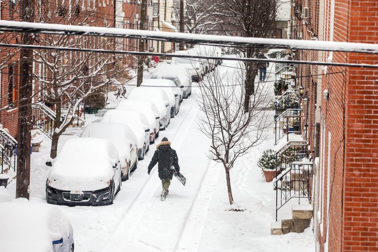
Snow on North Bucknell Street in the Fairmount neighborhood of Philadelphia, Tuesday, February 17.
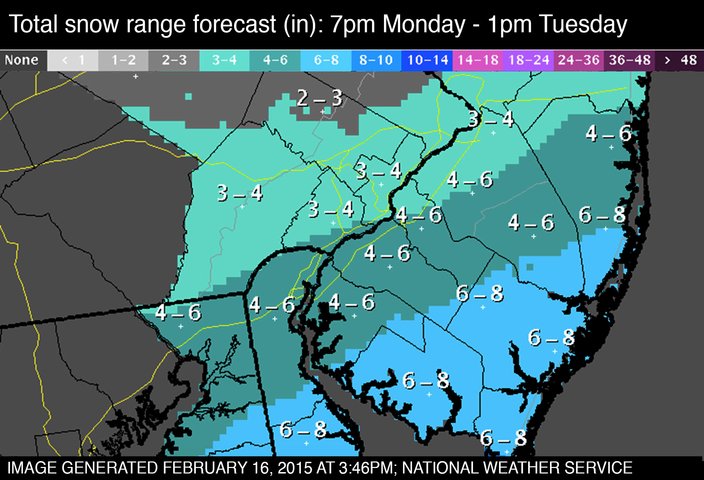
Snow fall has ended in many places across the region, but not before this morning's winter storm dumped anywhere from 3 to 8 inches of powdery yet slick snow.
As residents of the city and suburbs shovel their driveways and sidewalks, forecasters are already saying a bit more snow is possible on Wednesday and again next weekend.
Many schools closed Tuesday rather than bring in students as the storm neared its end in Philadelphia.
With temperatures in the teens, the snow on area roadways froze over quickly, and travel during the morning rush hour was difficult.
Meanwhile, the near balmy temperatures Tuesday (in the low 20s and no wind) will yield to more arctic air later this week, with real temperatures expected to fall further then they did this past weekend.
Indeed, the coldest days of winter look to set in Thursday and Friday, and possibly the coldest in Philadelphia in 21 years, according to the National Weather Service. On that date, real temperatures plummeted to five below zero on Jan. 19, 1994.
At 6:29 a.m. Monday, the temperature was 3 degrees at Philadelphia International Airport, one degree off the record low for this date, recorded in 1888. It was the coldest day in Philadelphia since Feb. 5, 1996.

Forecasters said the low wind chills can result in frostbite and lead to hypothermia if precautions are not taken, suggesting that people who must be outdoors dress in layers and cover exposed skin.
Click here to see the full NWS forecast.